Hiking options are abundant in Marquette, Michigan. With scenic views everywhere, unique terrain, and waterfalls galore, it is easy to see why Marquette is one of my favorite Michigan hiking destinations.
Here are some of my favorite trails to hike in the area.
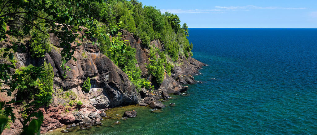
Presque Isle Park
Difficulty Rating: Easy
Distance: Approximately 2 miles
Route Type: Loop
Elevation Gain: 127 feet
Located in the city of Marquette, Presque Isle Park is one of the most visited sites in Marquette County. It is easy to access and offers beautiful views of Lake Superior.
Hikers can enjoy trails through Presque Isle’s central forest or stick to the nearly 2-mile scenic roadway for an easy experience.
Highlights include:
- Blackrocks – a famous location where locals enjoy jumping off into Lake Superior
- Sunset Point – one of the best viewing spots for sunsets in Marquette
- Wildlife sightings
Thomas Rock
Difficulty Rating: Easy
Distance: 0.5 miles
Route Type: Loop
Elevation Gain: 52 feet
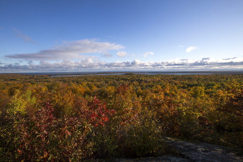
Thomas Rock is an easy ADA-accessible paved pathway located about 25 miles north of Marquette. It offers wonderful views of the surrounding area and is a great stop for fall colors.
Along the way, visitors can enjoy an interpretive trail where they learn about different plants and wildlife in the area.
Highlights include views of:
- Lake Superior
- Lake Independence
- Salmon Trout Point
- Village of Big Bay
Harlow Lake Recreational Area – Little Presque Isle
Difficulty Rating: Easy to Intermediate
Distance: Varies
Route Type: Varies
Elevation Gain: Varies
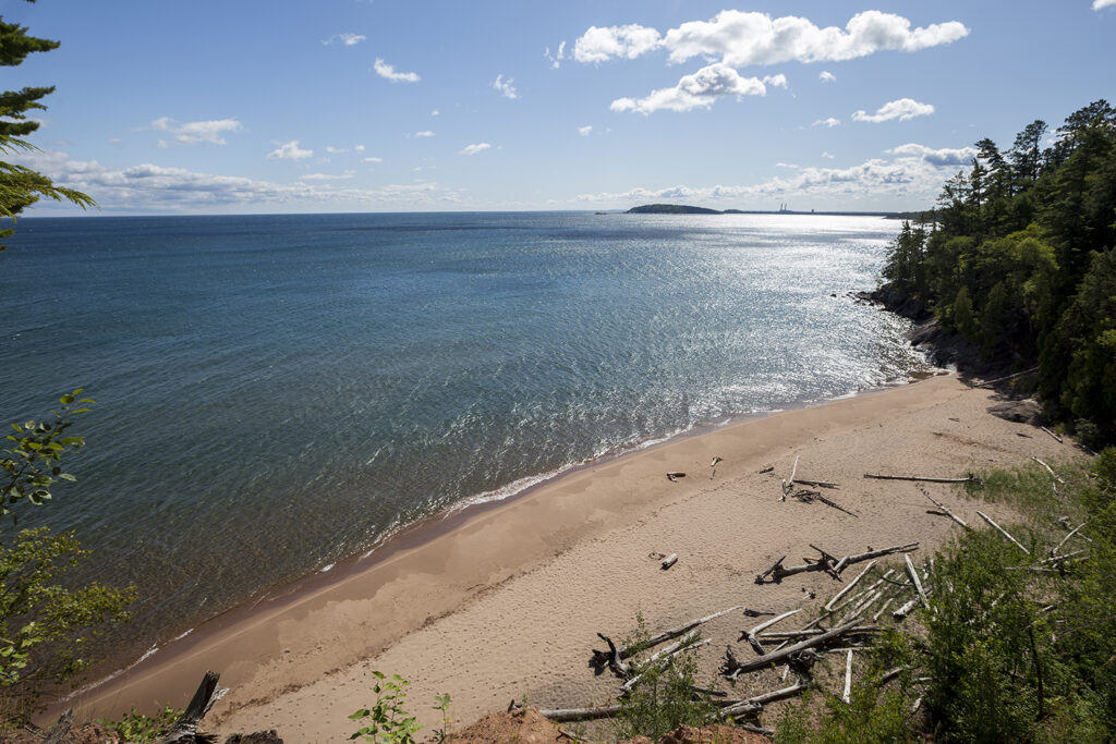
Little Presque Isle, not to be confused with Presque Isle Park, is a large tract of land north of Marquette. It has beautiful sandy beaches, rugged shoreline cliffs, timbered forests, and stunning vistas.
Hikers can enjoy 10 different trails, including a portion of the North Country Trail. Each trail varies in difficulty and length. Trails can easily be connected for extended hikes.
Highlights include:
- Views of Little Presque Isle
- Wetmore Landing
- Hogback Mountain
- Top of the World
- Harlow Lake
For a detailed map, visit Little Presque Isle or learn more at Michigan DNR.
Echo Lake Preserve
Difficulty Rating: Intermediate
Distance: 2.4 miles
Route Type: Out & Back
Elevation Gain: 269 feet
Echo Lake Preserve is located about 12 miles north of Marquette and is part of The Nature Conservancy. It consists of 480-acres with high bluffs, mixed forests, wetlands, creeks, and Echo Lake.
Pets are not allowed in this area.
Highlights include:
- Cliff-top views and vistas
- Echo Lake
- Variety of wildlife sightings, including gray wolves, moose, and river otters
The North Country Trail
Difficulty Rating: Intermediate to Difficult
Distance: Varies
Elevation Gain: Varies
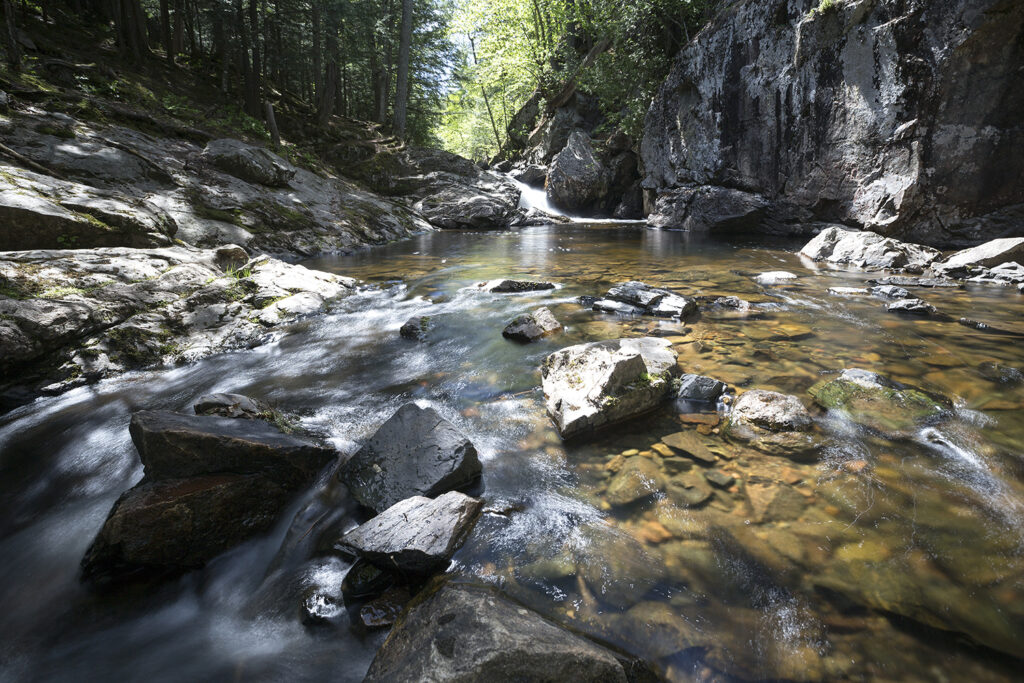
The North Country Trail (NCT) is an iconic trail that goes through seven states from New York to North Dakota. It offers some of the wildest and most isolated hiking opportunities within the state.
In the Marquette area, highlights include:
- Lake Superior views
- Beautiful sandy beaches
- Waterfalls
McCormick Wilderness Area
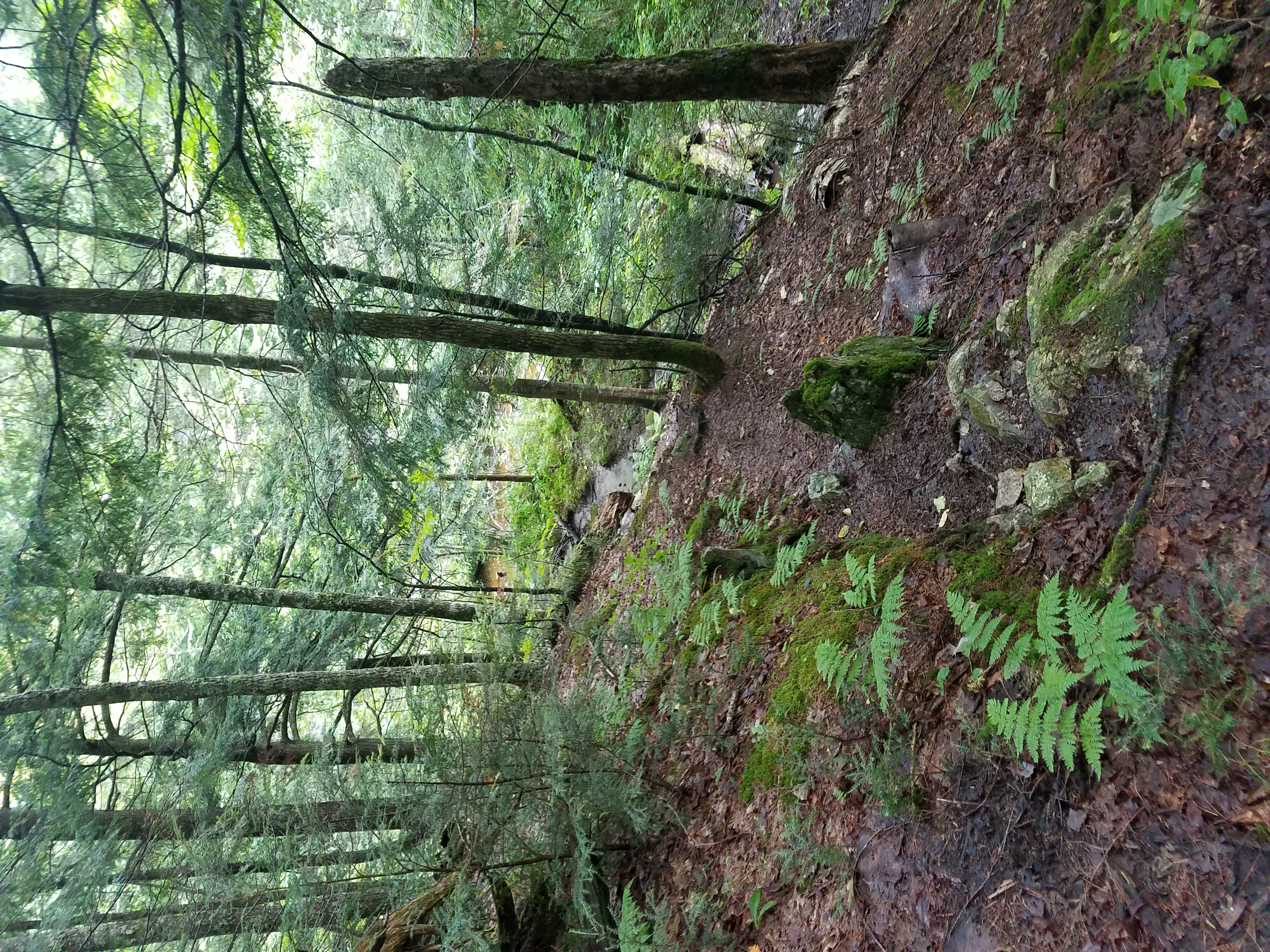
McCormick Wilderness Area is one place that is incredibly special to me. Forty-five miles northwest of Marquette, this hike is a bit of a drive. However, with 17,000 acres of forest, multiple bodies of water, and miles of hiking, it is well worth the drive.
Hikers should be aware that the trails here are unmarked. You must be self-sufficient and have good navigation skills to rely on.
There are two trail options.
White Deer Lake Trail
Difficulty Rating: Intermediate
Distance: 6.8 miles
Route Type: Out & Back
Elevation Gain: 443 feet
White Deer Lake Trail can be accessed from the western entrance. This route is more popular than the Yellow Dog Falls trail. It takes hikers through a mix of northern hardwoods and lowland conifers.
Yellow Dog Falls Trail
Difficulty Rating: Intermediate
Distance: 4.5 miles
Route Type: Out & Back
Elevation Gain: 288 feet
The Yellow Dog Falls can be accessed from the eastern entrance. This hike includes scenic rivers (including river crossings), waterfalls, beautiful hardwoods, and rocky portions of trail. I have never encountered other hikers on this trail. It is very secluded and the road may be rough to get down.
Dead River Falls Trail

Difficulty Rating: Intermediate
Distance: 17. miles
Route Type: Out & Back
Elevation Gain: 229 feet
The Dead River Falls Trail is about 6 miles outside of Marquette. This is a popular hike for obvious reasons – the waterfalls. The trail follows the Dead River and provides views of one of the prettiest set of waterfalls in the area.
Steep inclines, tree roots, rocks, and mud make this hike more challenging.
Highlights include:
- Views of the Dead River
- 7 Waterfalls
Sugarloaf Mountain
Difficulty Rating: Intermediate
Distance: Around 1.4 miles
Route Type: Out & Back
Elevation Gain: 295 feet
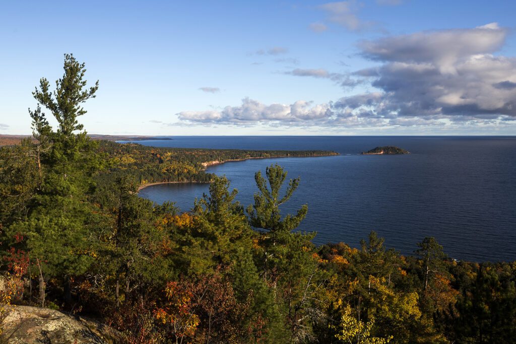
Sugarloaf Mountain is located north of Marquette and not only provides a beautiful hike but also stunning views of the Huron Mountains.
There are two route options. An easy route and a difficult route. The difficult route is unpaved, has large boulders, and is very rocky. It is much more natural. However, at a certain point, both routes reach the same set of stairs – and there are a lot of stairs.
It is highly unlikely that you will have this trail to yourself. Sugarloaf Mountain is one of the most popular hikes in Marquette.
Highlights include:
- A pretty hike
- Stunning views of the Huron Mountains, Lake Superior, and Marquette
Hogback Mountain
Difficulty Rating: Moderate
Distance: 3.1 miles
Route Type: Out & Back
Elevation Gain: 564 feet
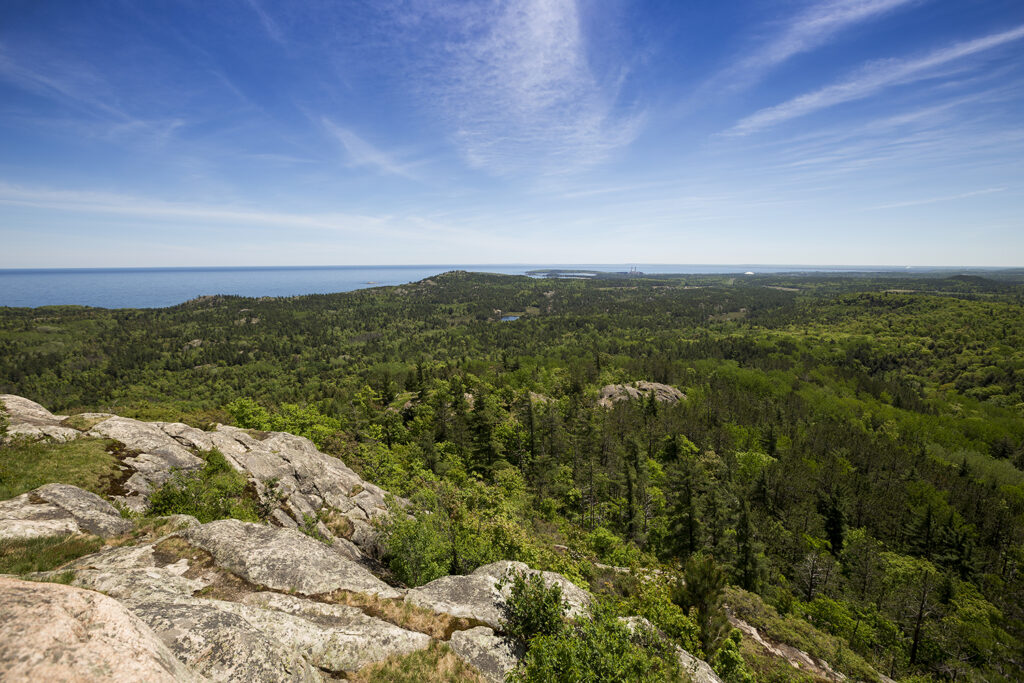
Hogback Mountain is part of the Little Presque Isle Recreation Area but is worth a shout-out on its own. It is less popular than Sugarloaf but depending on the time of day you go, you will likely have to share the trail with others.
This is one of my favorite hikes in the area.
Highlights include:
- Incredibles views of the Huron Mountains, Marquette, and Lake Superior
- A very beautiful hike with varied terrain

Leave a Reply