
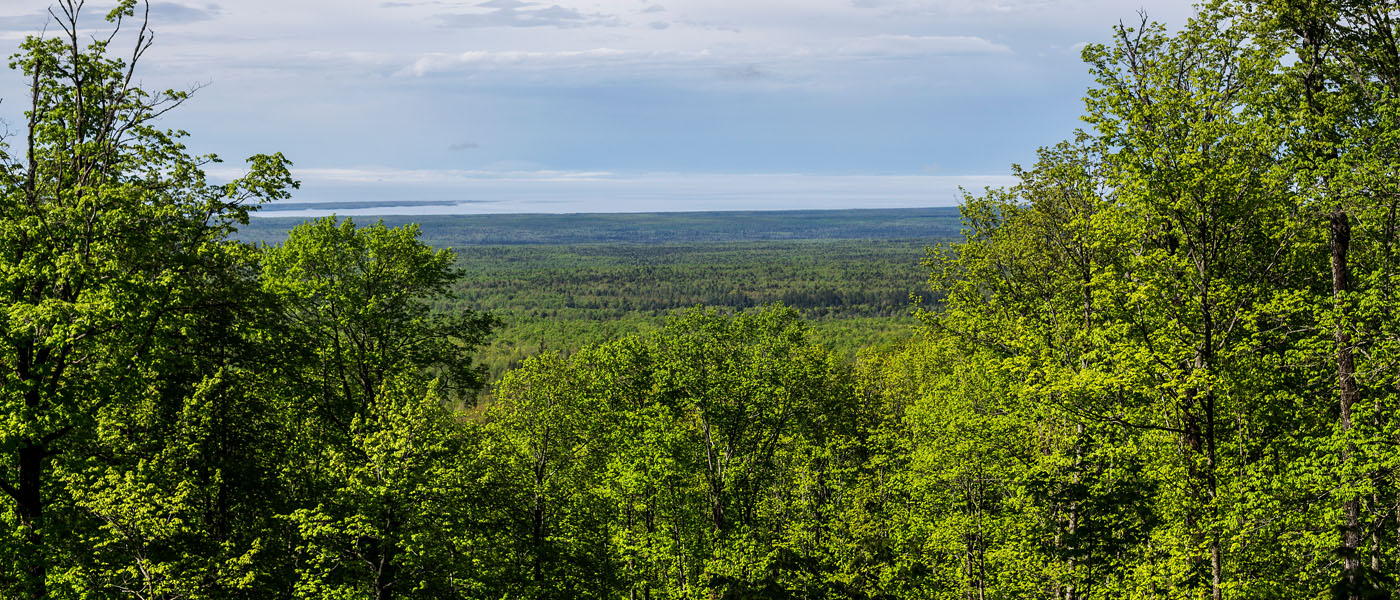
We visited the top of the world! Well, Michigan’s top of the world.
At 1,979 feet above sea level, Mount Arvon is Michigan’s highest point. It resides in the Huron Mountain range, a wild and untamed area that stretches roughly from Marquette to L’Anse. Accessible by most vehicles, Mount Arvon is worth checking out.

The drive alone is very pretty. We passed through old growth forest, by large ponds, and even an unnamed ravine waterfall. Especially in the spring, streams trickle out of the mountain’s surface, creating mini waterfalls all over the place.
Awaiting at the top is a pleasant view where some trees have been cleared, a sign noting that you are at Michigan’s Highest Point, a picnic table, and a mailbox containing a book that you can sign your name, where you are from, and when you visited.

The route to Mount Arvon is very well marked with signs. Most of them along the main route are large, blue diamonds. However, as you get closer to the peak, there are some smaller white signs (still diamond shape) that can be hard to spot if you’re not looking for them. To get there from L’Anse:
- Head northwest on E. Broad Street
- Turn right onto N. Main Street
- Continue onto Skanee Rd.
- Follow Skanee for 16.1 miles to Roland Lake Road and turn right
- Drive 2.9 miles to where the road comes to a T and turn into onto Ravine River Road
- Follow the signs the rest of the rest of the way
***Update 2/8/19*** Mount Arvon is no longer Michigan’s tallest point.


Leave a Reply