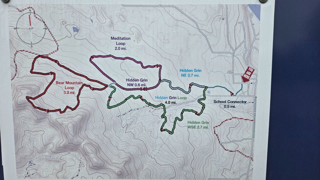
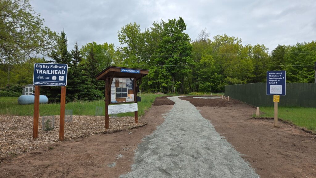
When I first discovered the Big Bay Pathway, I was intrigued. I had difficulty finding any information about it other than a tiny image of a detail-less map and that it was used primarily for cross-country skiing. I visited what I had thought was the trailhead a few times but never felt confident enough with what information I had to venture out. That all changed about two years ago.
With more knowledge of the trail system, I was ready for my first hike/run on the Big Bay Pathway.
The Loops

The Big Bay Pathway is made up of three loops.
- Hidden Grin Loop – 4 miles
- Meditation Loop – 2 miles
- Bear Mountain Loop – 3.2 miles
I had two goals on this trip. The first was to get in 6 to 8 miles and the second was to see where the trail took me on Bear Mountain. I had previously hiked up Bear Mountain on the other side through commercial forest land. I was familiar with the area, and curious what views I might find at the top.
The Route

I started on the School Connector trail at the trailhead and picked up the north section of the Hidden Grin Loop at roughly 0.5 miles. This section had a small creek crossing, beautiful hemlock trees, and was well maintained.


After about an additional 0.7 miles, I reached the overlap between the southern section of the Mediation Loop and the north section of the Hidden Grin Loop. This section felt like it was on a dirt road or a well-maintained two-track. It was not my favorite.
Another 0.6 miles and I reached the Bear Mountain Loop. It was obvious by the immediate climb. The trail was more of a trail in this section with a little mix of what looked like an overgrown old ATV trail. From a technical perspective, it was easy. No roots or rocks impaired the trail. However, there was plenty of mud to maneuver through and it was a steady upward climb for about a mile.
And then I reached the sign for the ridgeline trail.


The ridgeline trail wasn’t on any map that I had looked at and I wasn’t sure where it went but I wanted to see if there was a view. So I took it. And climbed some more.
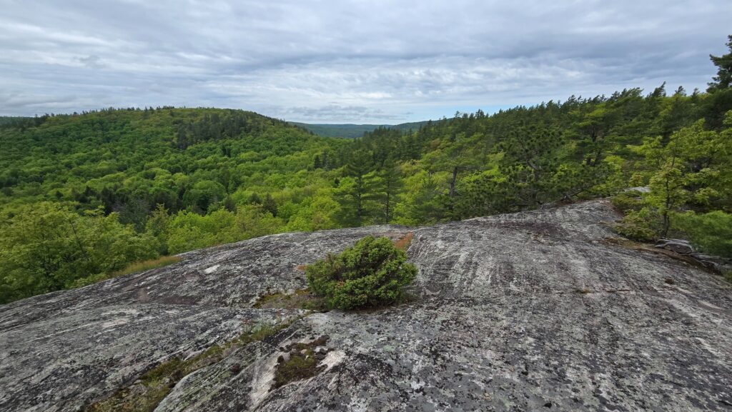
I wasn’t disappointed.

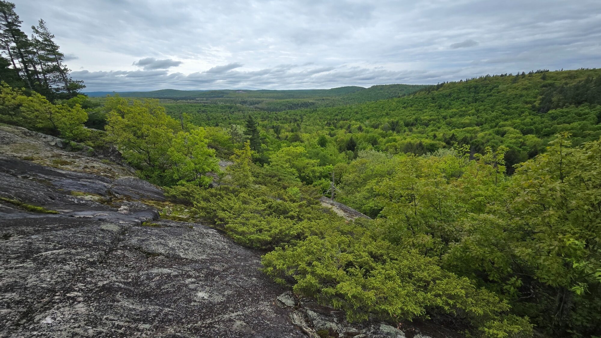
After about 0.3 miles of steep climbing, I reached a rock outcrop and could take in the view of the Huron Mountains. It was stunning.
The trail continued onward but I had reached the turnaround point for this trip and with disappointment, began heading back down the mountain, eager to return and investigate further.
Overall
While I have hiked on trails I’ve enjoyed more, the Big Bay Pathway has the potential to grow into something incredible. The views are amazing and it is quite peaceful. I didn’t see a single person despite it being a holiday.
I’m looking forward to returning to explore it further and find other hidden gems along the way.
The Big Bay Pathway is maintained by the Noquemanon Trail Network (NTN). This is a non-profit organization that promotes the use of non-motorized trails throughout Michigan’s central upper peninsula. Organizations like this survive on memberships and donations so if you’re out on any of their trails and appreciate the work done, don’t forget to donate. Every bit helps.

