In 2016, we had the wonderful opportunity to backpack through the Pictured Rocks National Lakeshore. Since then, it has been a dream of mine to run the length of the park. While this trip was short, it gave me a taste of that experience and made me even more determined than ever to complete the dream.
This section of the North Country Trail (NCT), also known as the Lakeshore Trail, stretches for 42.4 miles along Lake Superior’s coast. Secluded rivers, hidden waterfalls, and stunning views make this one of the most popular sections of the NCT.
My adventure started on the east side of the park in Grand Marias and ended at Grand Sable Lake.
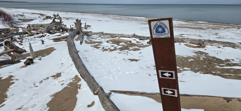
I picked up the NCT at Woodland Park and made my way immediately down to Lake Superior. The first section of the run was entirely on the beach. Thankfully, it was cold enough that the sand had frozen and it was easy to run on. Sand is not my favorite. But the views were very much worth it.
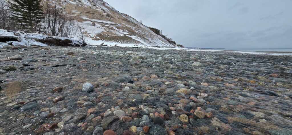
In no time, I had reached the Grand Sable Dunes. These enormous hills of sand stretch for miles, perched 300 feet above Lake Superior. They are stunning and a view I never tire of seeing.
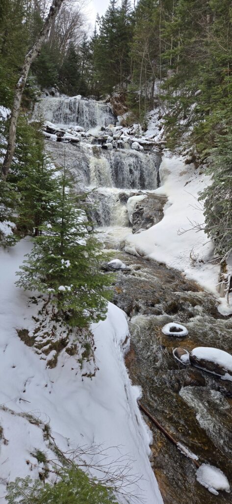
The trail turns inland along Sable Creek and past one of my favorite waterfalls in the park, Sable Falls, a roaring 75-foot-tall waterfall. On this particular day, the waterfall was doing just that – roaring. An early spring melt paired with a recent snowstorm fueled the creek, making this waterfall a highlight of the run.
For those interested in climbing the dunes, there is a trail that branches off of the NCT called the Grand Sable Dunes Trail. It is 0.6 miles and goes to the top of the dunes. I ran on a short section of this trail. Expect lots of sand and some decent hill climbs.
After the detour, I returned to the NCT and continued toward my destination – Grand Sable Lake.
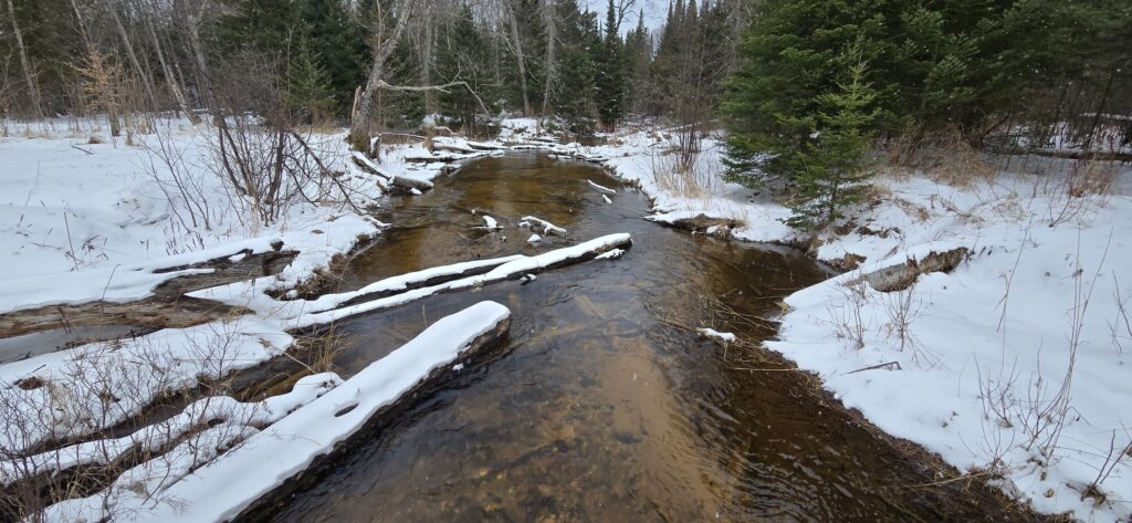
The next few miles were mostly forest with small streams and gully crossings. The snowstorm had dropped about 8 inches of snow and it was slow going. No other footprints blazed the trail. It was just me and the forest.
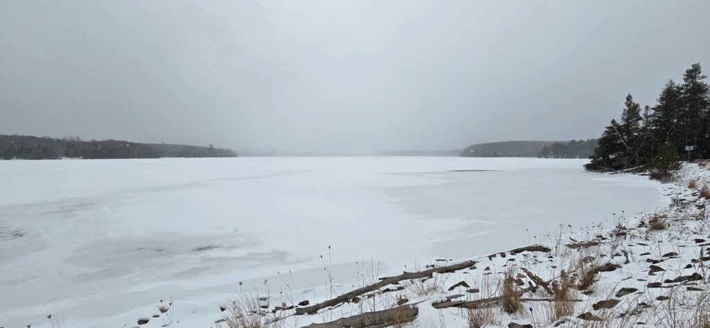
I was slightly disappointed when I reached Grand Sable Lake. It was a silly notion but for some reason, I thought there would be some open water. There was not, as it should be in March. Still, I was hopeful of seeing the lake as I had pictured it in my memory. Grand Sable Lake is the Pictured Rocks’ largest inland lake. It is off of H-58 and has a beautiful scenic overlook. The NCT wraps around the lake, providing views from different angles.
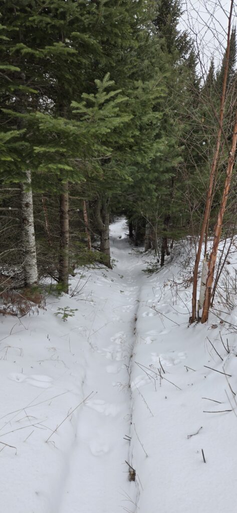
Despite my unrealistic expectations, the scenery was beautiful and there were plenty of wildlife tracks to enjoy. The east side of the park has always been quieter than the west side – where visitors gather in overwhelming numbers to view the iconic Pictured Rocks. In this section of the trail and especially during the winter, it was peaceful.
Fighting the urge to continue, I reached my mileage turnaround point and headed back to Grand Marias feeling somewhat satisfied that I had reached my goal but also so much more determined to complete the dream. I wanted to explore more, and I wanted to go further.
I’m very much looking forward to continuing this adventure and highly recommend this trail to anyone who loves the outdoors. Whether you’re a backpacker, a hiker, or a runner. It is well worth the experience.
Parks rules and fees have changed over the last few years. Be sure to check out the National Park Service website Pictured Rocks National Lakeshore to learn more and prepare for your visit to the park.

Leave a Reply