Visiting Proud Lake Recreation Area has been on my bucket list for quite some time now. With over 3,000 acres, including the scenic Huron River, this recreation area provides activities for all outdoor adventurers.
Proud Lake Recreation Area has an extensive trail system that is open to hiking/running, horseback riding, and mountain biking. In addition, there are plenty of opportunities for fishing and paddling. There is even a campground, cabin rentals, and lodges available for those looking for more than a day trip.
I spent my time running the trails and enjoying the scenery.
The Trails
This recreation area boasts more than 20 miles of interconnected foot trails, including a connection to the Chief Pontiac Hiking Trail.

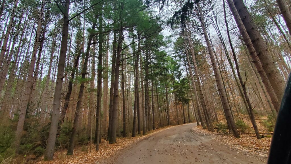
The moment I stepped out of my Jeep, I was greeted with the smell of pine. There are very few things that I enjoy more than being in a pine forest. It reminds me of home and brings with it the comfort of all the things I love about being in the woods.


After analyzing the map at the trailhead, I hopped on the trail and discovered immediately why it smelt so strong of pine. Large red pine plantations lined the edges of the trail as it weaved through these massive giants. The trees stretched as tall as the sky and created a sense of being deep in an ancient wood.
However, as I continued along the trail, this experience dissipated and my excitement was quickly replaced with frustration.

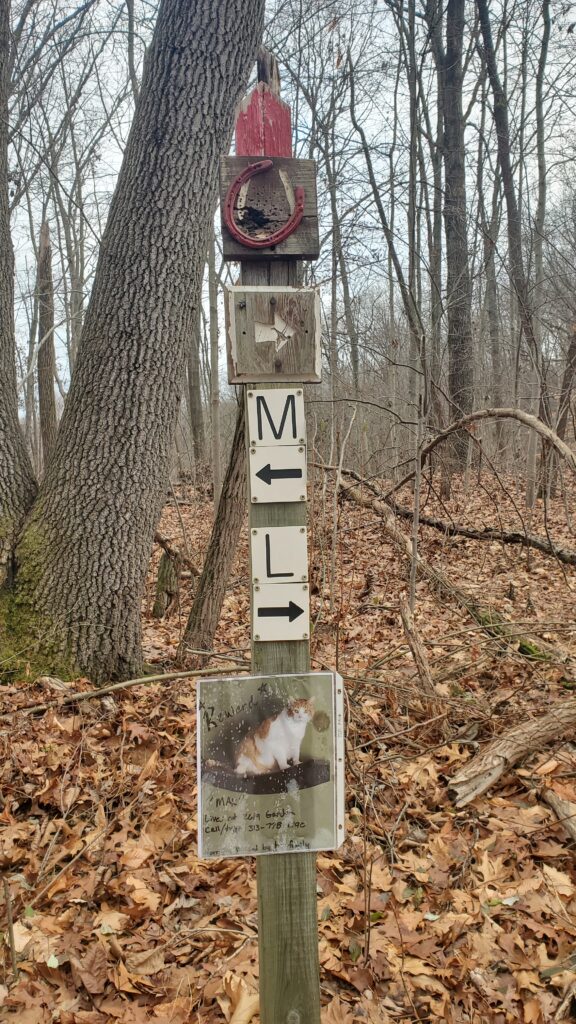
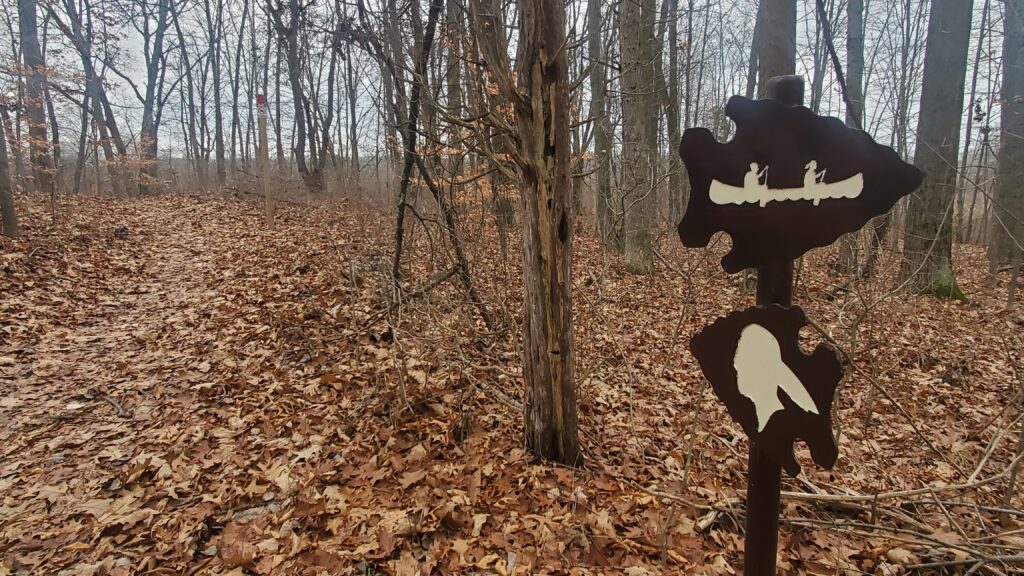
One of my biggest issues with this particular trail system is that at every intersection there were markings to indicate where you were on the trail but in several locations, there wasn’t a map attached. I had to keep stopping and checking my map to get a better sense of where I was.
While typically not an issue for hiking, it is for trail running because it prevented me from getting into a rhythm. Part of this is on me for not having a better understanding of the trail system itself (hiking 101) and doing my due diligence before stepping foot on the trails. But I did study the map at the trailhead for a while and mapped out the route I wanted to take. Not having enough signage to help complete that route, can be frustrating when visiting a new trail system.

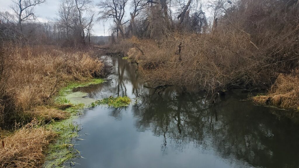
Aside from the signage issue, I also ran into these weird areas where the map said the trail continued but it didn’t. At one spot, after going through a particularly muddy section, the trail seemed to end at a marsh or dropped at the river. It was an odd experience that I hadn’t had before and added to the frustration.


Overall, the trails were in fairly good condition. There were a few sections that had a lot of mud or were entirely flooded. With little roots and rocks, and very minor hills, this would be an excellent option for those who are beginner hikers or runners.
Overall

The park was relevately quiet and I encountered very few people, despite the parking lot being busy. The location provides a nice escape from the city, whether coming from Lansing, Detroit, or Flint.
As mentioned, I had some frustrations with signage and accurate trail maps. Upon finishing, I decided that Proud Lake Recreation Area wasn’t a place for me.
There’s no doubt though that this area has some wonderful scenic spots. From the Red Pines to the shores of the Huron River, it is a beautiful place to visit.
For more information, visit the Michigan Department of Natural Resources or check out the park trails at AllTrails.com

Leave a Reply