
-
Hiking Preparation
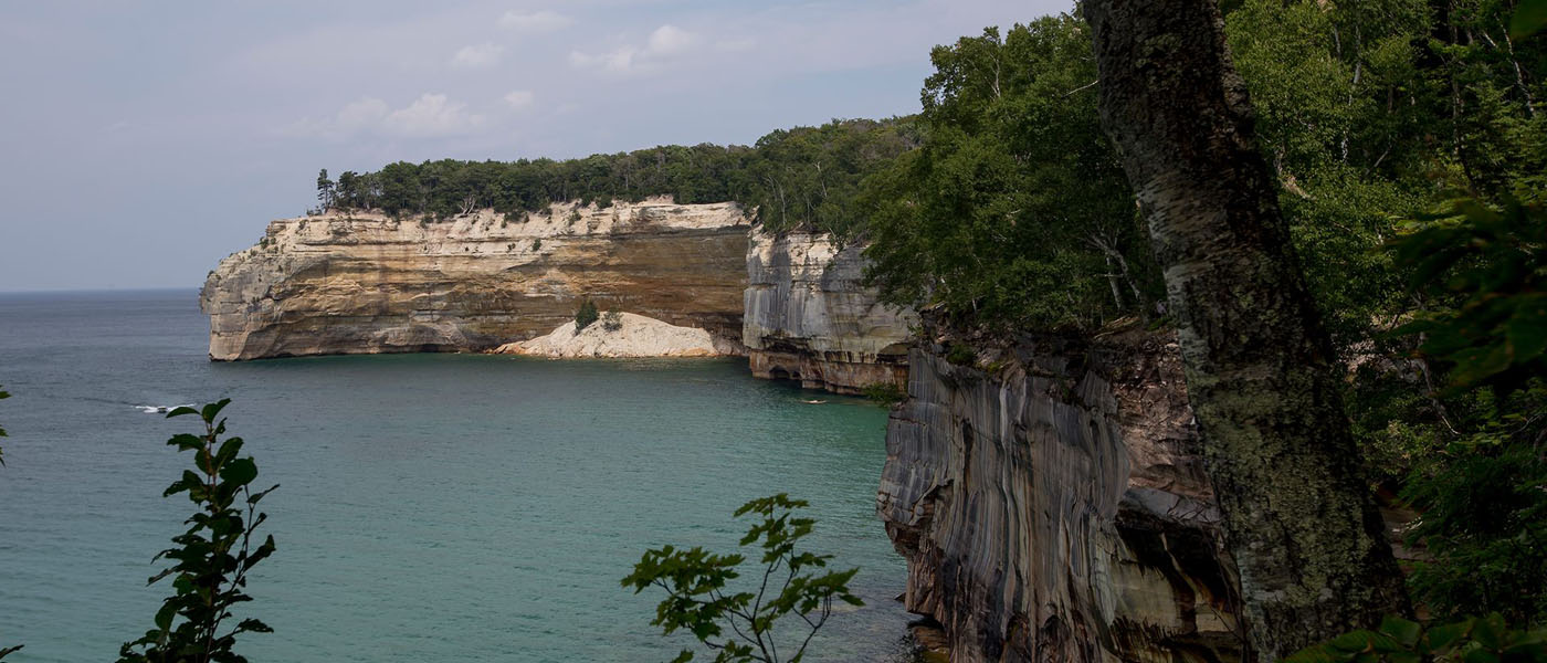
It’s almost time for our 42.2 mile hike through Pictured Rocks National Lake Shore. This will not be our most challenging hike but it will be our longest. We’ve taken many things into consideration planning this trip and thought it would be a good time to reflect. Why Pictured Rocks With this being my first…
-
Canyon Falls and the Gorge that Follows

The Sturgeon River is a 106 mile long wild, raging river with some pretty amazing waterfalls. One such waterfall is Canyon Falls, called such for a good reason. Canyon Falls is located at a scenic rest stop on US-41, making it a fairly well known and visited waterfall. At roughly 15 feet in height and…
-
The Smokies: 3 Reasons Why We’d Skip Out on Rainbow Falls
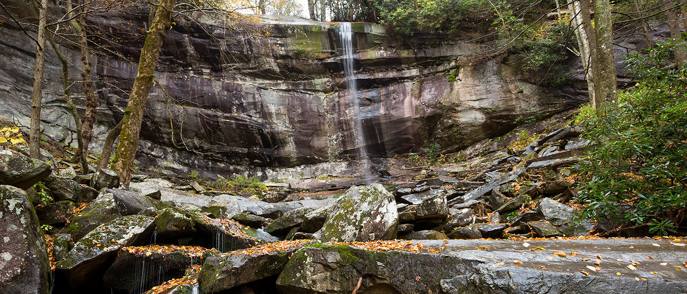
As usual, Steve and I were eager to seek out the supposedly impressive waterfalls in our visit to the Great Smoky Mountain National Park. One such waterfall was Rainbow Falls.
-
The Smokies: Grotto Falls

Grotto Falls is a 25 foot waterfall that has one major drop. This drop falls over a ledge, providing visitors the chance to walk in behind the waterfall for a different perspective
-
The Smokies: Hiking to Charlies Bunion
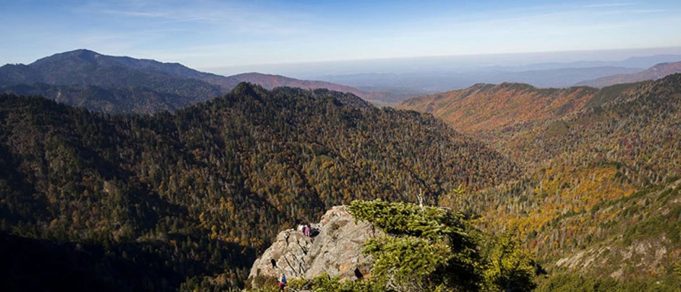
The trail begins on the Appalachian trail at the Newfound Gap Parking lot. The first 1.5 miles is all up hill and extremely rocky but the reward is a view of the North Carolina Smokies.
-
The Hike to Spray Falls

heer rock cliffs, unruly waves, miles of forest and wild waterfalls. Who could say no to that? That’s the scenery you can expect to see when you hike the North Country Trail in Pictured Rocks National Lake Shore. The trail follows, literally, along Lake Superior from Munising to Grand Marais and offers some spectacular views.
-
A Trek Up Sugarloaf Mountain

Sugarloaf Mountain may not be Mount Everest, but it certainly has something to offer those in the Marquette area. Honestly, I could have sat up there all day, admiring the view. Miles and mile of forest in one direction, Lake Superior 470 feet below in another. This 360 view of the Marquette area is pretty…
-
My Stuck-In-The-City Happy Place
After growing up in the country and falling in love with the forest, it is excruciatingly difficult for me to live in the city. There are days where I don’t think I can take it a single moment longer. Luckily for me I found a haven called Fenner Nature Center.
-
Tokopah Falls – A 1200 Foot Waterfall
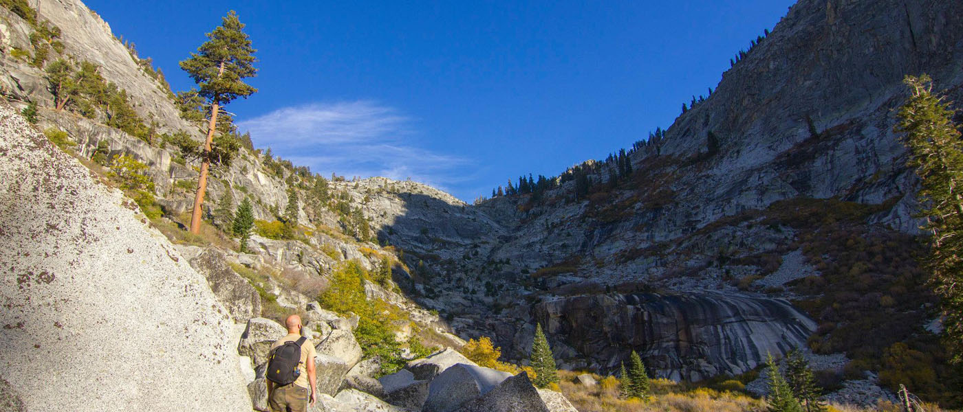
When I read about this 5 start, 1,200 foot waterfall within a 3.4 mile hike, I had to check it out. Located in Sequoia National Park, Tokpah Falls is a well known and frequently visited waterfall. The trailhead is located within the Lodgepole Campground.