
-
Hiking to Hunter’s Point
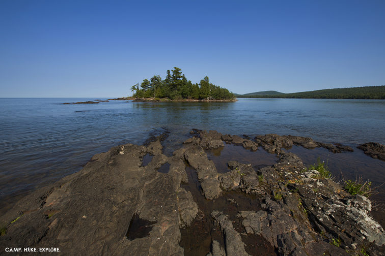
While not the best views in the area, Hunter’s Point provides a quick stop with some interesting sights. Located just west of Copper Harbor, Hunter’s Point is a 9.4 acre of land that juts out into Lake Superior. It has pebbly beaches (and trails) with some nice views of basalt rock. There are two points…
-
Hiking Hogback Mountain

Considered Marquette’s second most popular summit, Hogback Mountain’s rugged terrain, hemlock forests, and stunning views make this an incredible hike. While the trail is well marked, getting to the summit of Hogback isn’t easy. It is a strenuous hike across bare bluffs and up steep mountainside. The first half of the hike is easy and…
-
10 Essential Items for Hiking
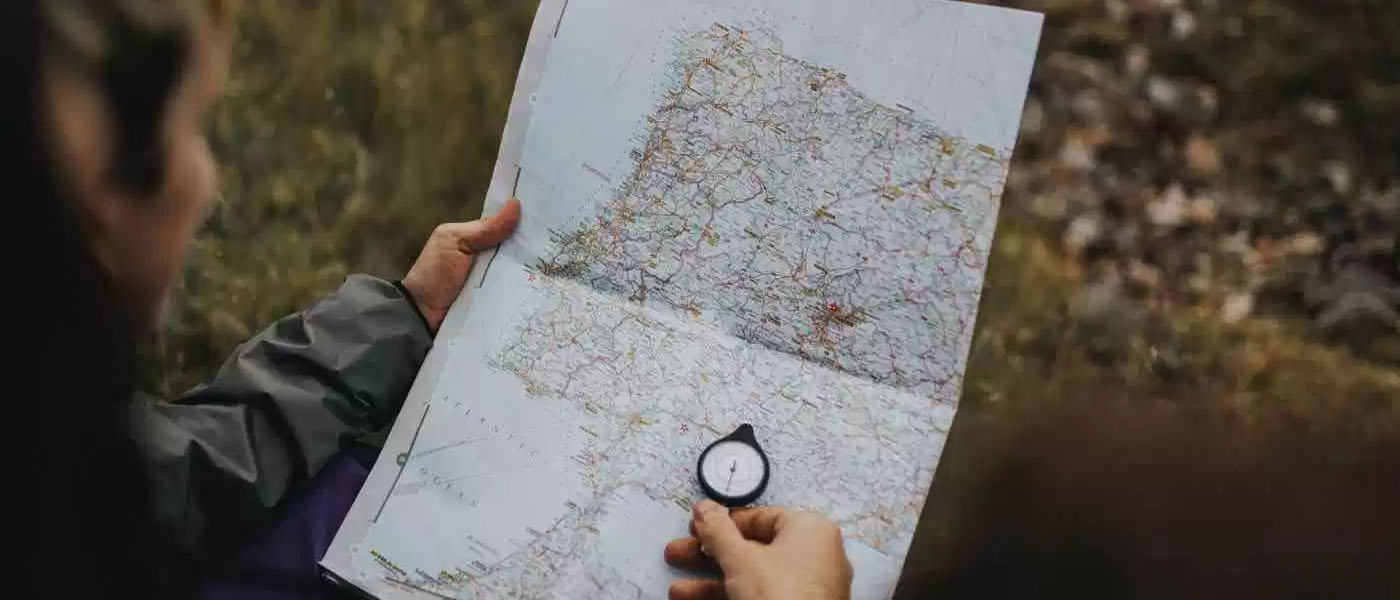
Being new to hiking can be as overwhelming as it is exciting. What do you have to take? What don’t you really need? After all, you can’t carry everything. What are the must-have items and why? Here are some basic items that are good to include in gear for any trip. Footwear Keeping your feet…
-
Hike Lansing: Lake Lansing North Park

Finding a great place to hike when you live in Mid-Michigan can be challenging. The terrain is pretty flat and there is city everywhere but places like Lake Lansing Park North provide a break in the mundane. The park contains over 530 acres of natural recreation area, including over 5 miles of trails. That might…
-
A Hike to Pyramid Point: Sleeping Bear Dunes

Located in Michigan’s Sleeping Bear Dunes National Lakeshore, Pyramid Point is a moderate hike with a stunning view of Lake Michigan. The trailhead is located off of Basch Road, about 10 minutes north of Glen Arbor. There were maps available at this location that show the 2.7 mile loop as well as a the .6…
-
McCormick Wilderness Area & the West Branch Yellow Dog Falls
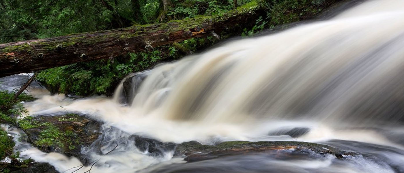
Upon approach, the McCormick Wilderness trailhead looks like any other. However, before embarking on your hike, you must leave detailed information about where you are going, how long you will be there, and your emergency contact information. Why? Because the trails are unmarked and it is easy to get lost. The isolated area known as…
-
Hiking Thomas Rock

Thomas Rock, previously known as Gobbler’s Knob, may not have the 360-degree views that the neighboring Sugarloaf Mountain has, but it still offers something spectacular. We discovered this scenic site back in 2013 and it has yet to lose its charm. Visitors follow a paved, interpretive trail to the top where they are greeted with…
-
The Hike to Abram’s Falls

We decided to take the 5.2 mile round trip hike to Abram’s Falls. The trail has a total elevation gain of 675 feet with the first part being almost entirely up hill. It’s a bit rocky but nothing compared to the Appalachian trail we had hiked part of the day before.
-
An Easy Hike to Big Sable Lighthouse

If you’re looking for an easy hike that takes a couple of hours or for a place to have a picnic and hang out, Big Sable Lighthouse is a great location. The hike is around 2 miles, each way, down a sandy but well-worn path that starts at Ludington State Park. There’s even some hike in…
-
42 miles of Happiness: Hiking the Pictured Rocks

Hiking the Pictured Rocks – really hiking – is amazing. It is one of the trips that will stick with me forever. Two hundred foot cliffs, numerous waterfalls, lake shore as far as the eye can see and mountainous dunes.